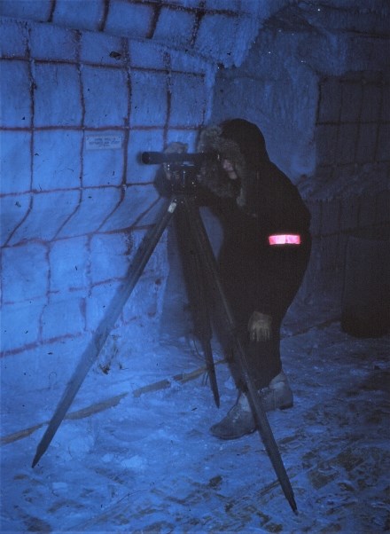
Camp Century was a military base constructed by the US Army Corps of Engineers (USACE) in 1959 on the Greenland ice sheet at 77.13°N and 61.03°W and 1910 meters above sea level. The base was constructed in the relatively porous near-surface layer of the ice sheet known as firn. The approximately 55 ha base housed between 85 and 200 soldiers and was continuously occupied until 1964. After three years of seasonal operation, Camp Century was finally abandoned with minimal decommissioning in 1967.
Camp Century primarily served as an experimental facility for the USACE to test ice-sheet construction concepts. They conducted extensive glaciological and climatological research during the operation of Camp Century. Today, the USACE-facilitated science at Camp Century is perhaps best known for producing the first systematic classification of Greenland snow zones, and recovering the first ice core to the bed of the ice sheet. Both the data and interpretations from these seminal studies continue to be highly cited today.
The NASA Program for Arctic Regional Climate Assessment (PARCA) began regular airborne measurements of ice surface elevation at the site in 1993. PARCA activities also included deploying an automatic weather station in 1995 to record meteorology at the site, drilling a 120 m deep ice core in 1996 to reconstruct snow accumulation rates, and measuring in-situ firn compaction rates in 1996. In 2010, a 35 m deep ice core was once again recovered at Camp Century, to further update snow accumulation records. NASA Operation IceBridge has regularly collected ice-penetrating radar data over the site since 2010.

